
The Challenge
Making Complex LiDAR Data Accessible
LiDAR datasets often contain billions of points and an extraordinary level of detail, making them difficult to interpret for clients, researchers and decision makers without specialized software or technical expertise. One of the biggest challenges was transforming these massive datasets into intuitive and interactive experiences that made complex spatial information easier to explore, understand and communicate.
My Contribution
Transforming Point Clouds into Interactive Experiences
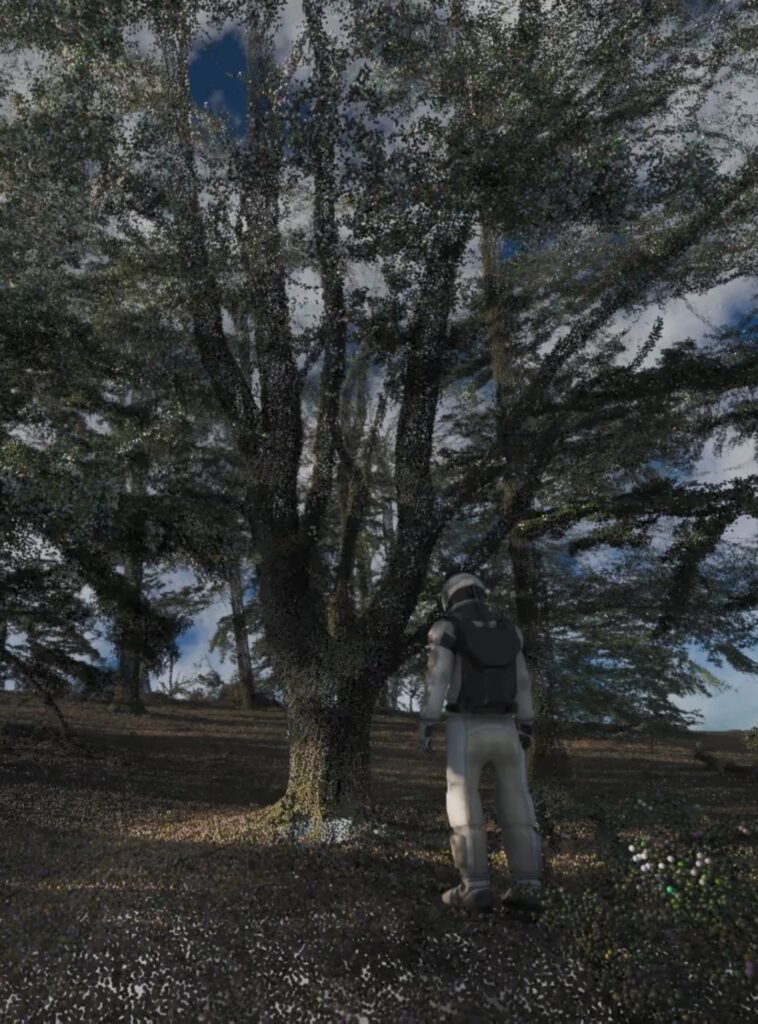
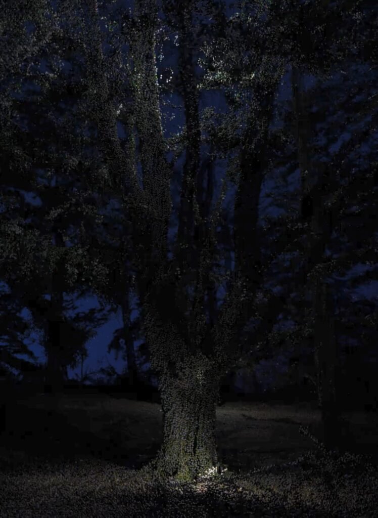
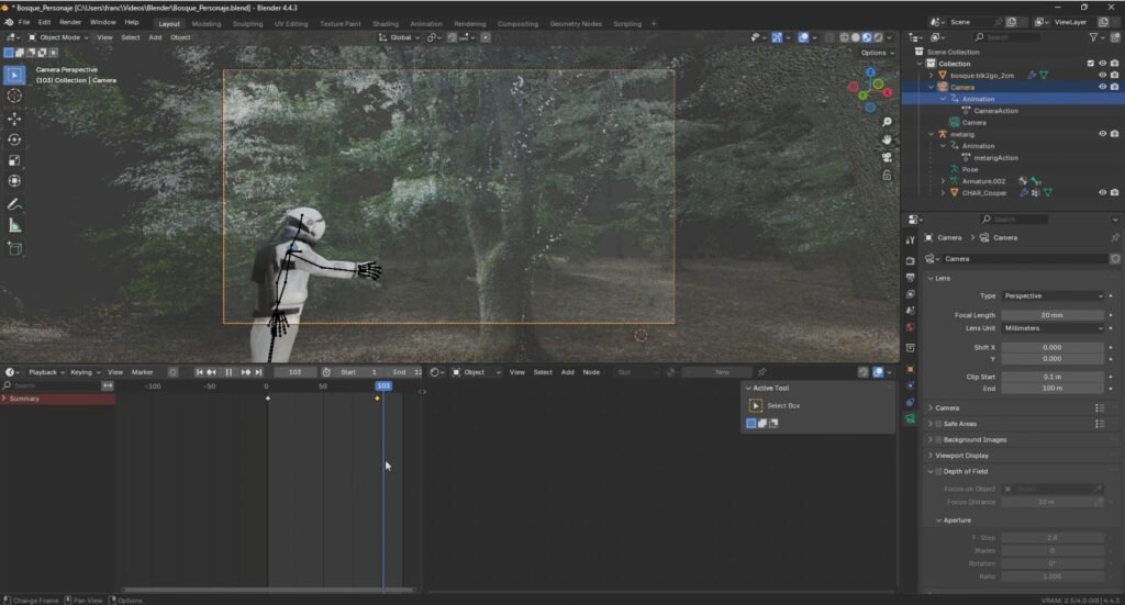
I developed multiple approaches to visualize and communicate 3D geospatial data, combining Blender and Unreal Engine to produce high quality animations and immersive environments that showcased forest structure and LiDAR products. To broaden accessibility, I also created online 3D viewers, initially using Potree and later developing fully customized web applications with Django, React and modern geospatial libraries. Alongside these tools, I produced technical tutorials and educational content to help professionals adopt LiDAR technologies and better understand point cloud processing workflows.
Connecting Data, People and Decisions
Effective visualization transforms complex datasets into knowledge that can be understood by scientists, engineers, clients and the wider public. By making LiDAR data more accessible and interactive, these tools improve communication, accelerate quality control and support better collaboration across multidisciplinary teams. I believe that bringing advanced geospatial technologies closer to people is essential for increasing their impact in research, conservation and environmental decision-making.