
THE CHALLENGE
Modernizing Forest LiDAR Workflows
Traditional forest inventories relied on static terrestrial laser scanning (TLS), requiring multiple scan positions and complex registration workflows to achieve complete forest coverage. Although SLAM-based LiDAR systems offered a faster alternative, they were often viewed with skepticism due to concerns about accumulated drift and positional accuracy, limiting their adoption in operational forestry.
To address these concerns, we designed and executed a series of field trials across different forest plantation species, evaluating whether SLAM technology could deliver the accuracy required while significantly improving field efficiency and productivity.
My Contribution
Bridging Innovation and Operational Forestry
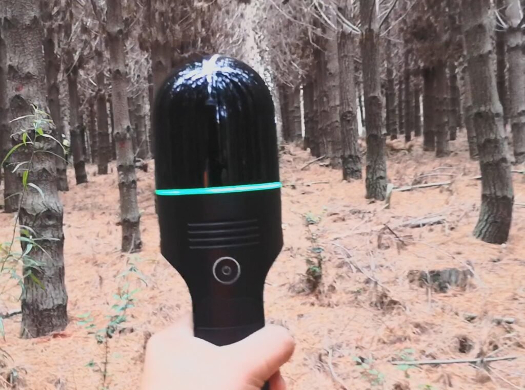
As the technical lead, I advised forestry companies on integrating SLAM LiDAR into their existing inventory workflows. I designed acquisition protocols using the Leica BLK2GO combined with GNSS-based georeferencing, allowing point clouds to be accurately positioned without relying on traditional multi-scan registration methods.
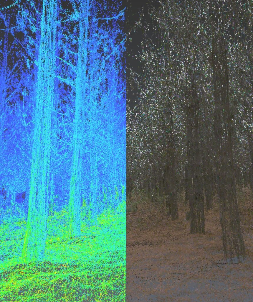
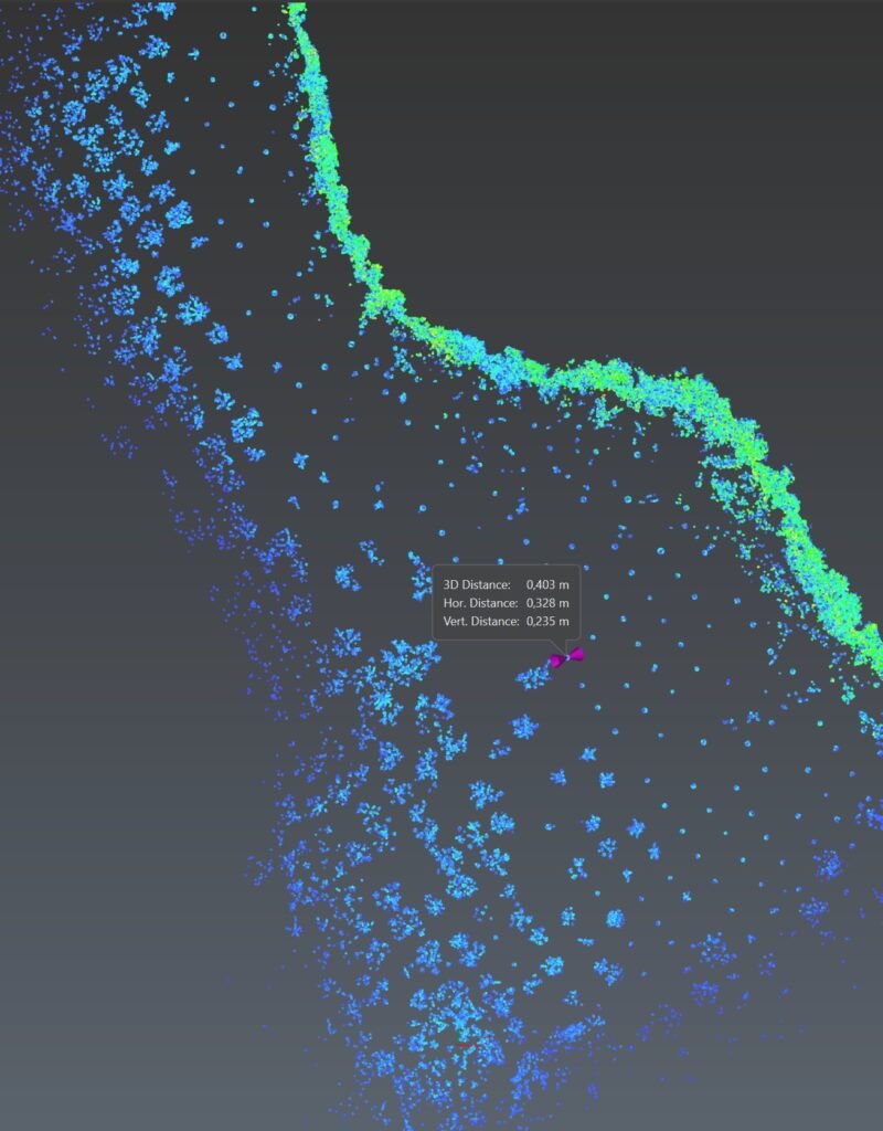
Beyond field operations, I developed automated processing tools in Python to detect individual trees, estimate stem diameters and streamline data processing. By combining rigorous field validation with reproducible workflows, I helped demonstrate that modern mobile LiDAR systems could maintain the required accuracy while dramatically increasing operational efficiency.
Advancing Forest Science
The successful adoption of SLAM LiDAR represented more than a technological improvement, it changed how forest data could be collected and analyzed. Faster acquisition enabled larger areas to be surveyed with greater frequency, while automated processing reduced manual effort and improved consistency across datasets.
These advances support more scalable forest inventories, high-quality structural measurements and better decision-making for sustainable forest management, biodiversity monitoring and forest carbon assessment, demonstrating how innovation in geospatial technologies can accelerate scientific research and environmental conservation.