
Geomatics Engineer • Remote Sensing • LIDAR
Franco Cereceda
Developing geospatial solutions based on multi-scale LiDAR, Earth Observation and advanced spatial analytics.
Recent Projects Showcase
From field acquisition in remote Patagonian forests to TLS registration, ALS processing, SLAM technologies, quality assurance, automated point cloud analysis and 3D visualizations.
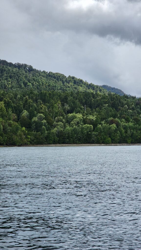
Forest Carbon Research
Advancing forest carbon monitoring through multi-scale LiDAR and Earth Observation.
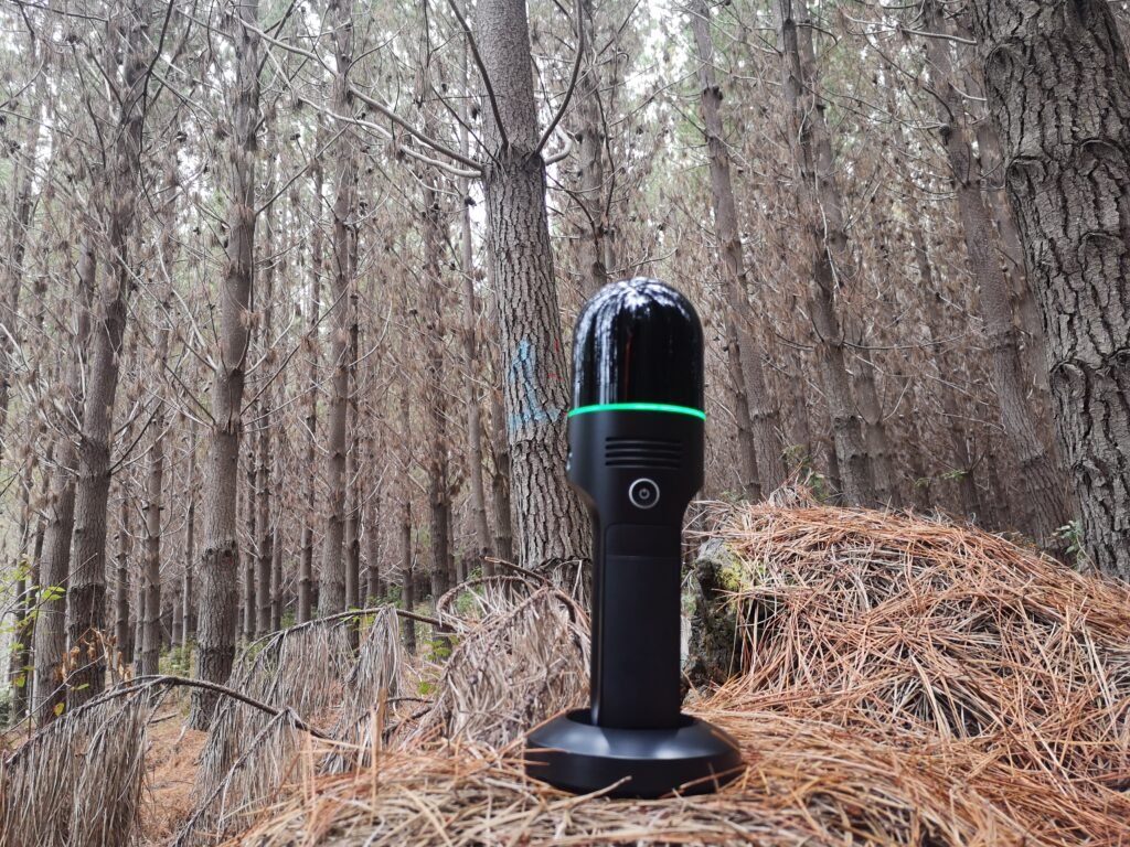
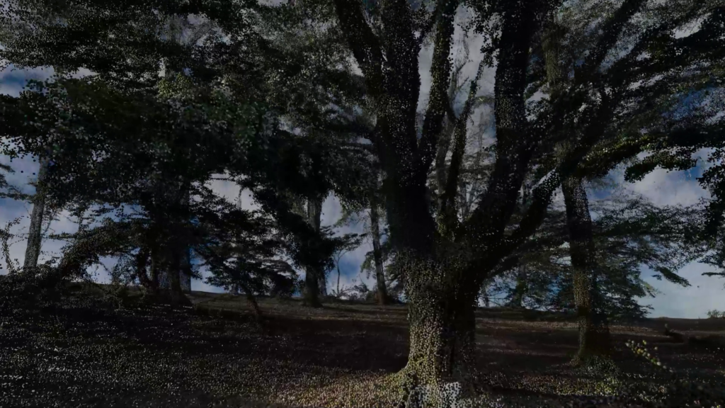
Interactive Forest Visualization
Communicating complex LiDAR datasets through immersive visualization
MY Story
Discover My Journey So Far
I am a Geomatics Engineer with a Master’s degree in Remote Sensing and over nine years of experience developing geospatial solutions based on multi-scale LiDAR, Earth Observation and advanced spatial analytics. My work spans the complete LiDAR workflow, from field acquisition in remote forest environments to TLS registration, ALS processing, quality assurance and automated point cloud processing using Python and machine learning.
Passionate about forest ecosystems and climate solutions, I focus on transforming complex geospatial data into reliable scientific information for carbon monitoring, biomass estimation and environmental decision-making. This portfolio showcases selected projects that reflect my experience in forest LiDAR, geospatial data science and innovative remote sensing technologies.