
multi-scale LiDAR
Forest Carbon Research
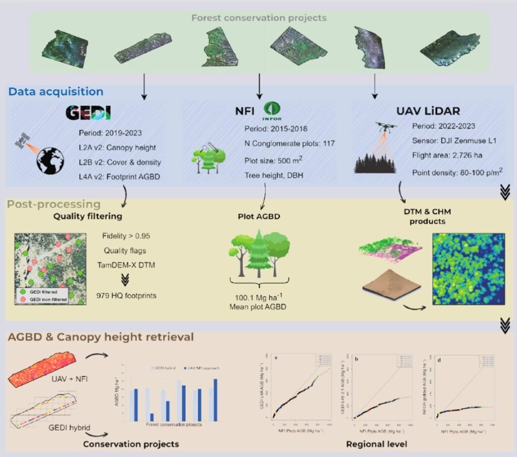
This project investigated the integration of NASA’s GEDI mission, UAV LiDAR and National Forest Inventory data to improve forest carbon estimation in Chilean Patagonia. The results demonstrated that GEDI provides more reliable measurements of forest structure and aboveground biomass in remote old-growth forests than traditional inventory methods, supporting more accurate carbon monitoring and biodiversity conservation. The findings were published in the scientific paper «Old-growth mapping in Patagonia’s evergreen forests must integrate GEDI data to overcome NFI data limitations and to effectively support biodiversity conservation.» contributing to advances in forest carbon science and biodiversity monitoring.

Scientific Impact
Advancing Forest Carbon Science through Multi-Scale LiDAR and Earth Observation
The project not only contributed to advancing forest carbon research but also gained broad recognition across Latin America. I was invited to present the work at universities, technical seminars and national television, highlighting how the integration of multi-scale LiDAR and NASA’s GEDI mission can improve forest carbon monitoring and biodiversity conservation. These outreach activities promoted knowledge exchange between academia, industry and environmental organizations, reinforcing the role of geospatial technologies in addressing global climate challenges.
As part of this project, I participated in extensive field campaigns across Chilean Patagonia, acquiring airborne and terrestrial LiDAR data alongside detailed forest plot measurements. These high quality reference datasets supported forest structure analysis, biomass estimation, and the calibration and validation of GEDI products for accurate forest carbon assessment.
More Than Data
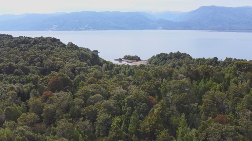
This project became a defining moment in my career because it connected advanced geospatial technology with a meaningful environmental purpose. Working in the remote old-growth forests of Chilean Patagonia and witnessing the ecosystems we were helping to protect gave real significance to every LiDAR survey, processing workflow and scientific analysis. It reinforced my belief that accurate geospatial data can play a fundamental role in biodiversity conservation, forest carbon monitoring and the development of practical climate solutions.