
I am a Geomatics Engineer driven by a passion for forests, remote sensing and geospatial innovation. My experience spans the entire LiDAR workflow, from acquiring data in remote forest environments to developing automated processing pipelines and machine learning solutions for large-scale point cloud analysis.
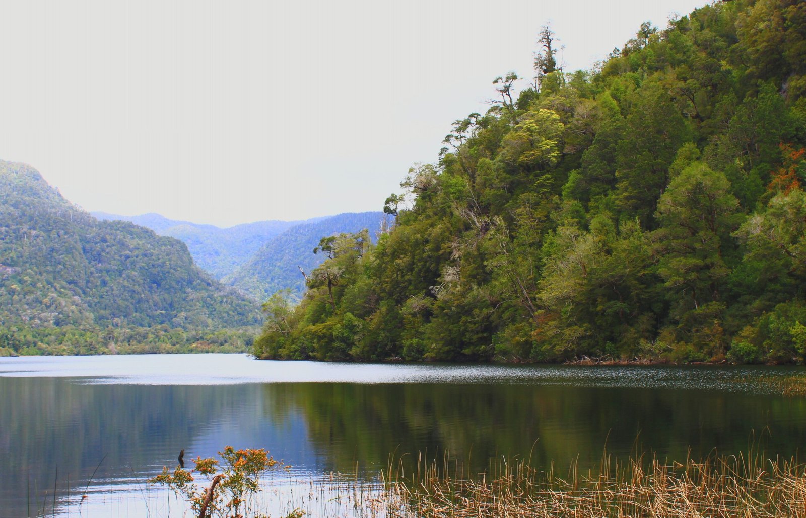

“Contributing to projects that help protect ecosystems and improve our understanding of forests is what continues to inspire my work every day”
Emily Davis